We will depart from the Larregain, which gives name to the tour, in the Ereñotzu district of Hernani. As it is not standardized, we recommend that you take a look at the technical sheet, guide and map that you will find in the “Hernani” section of the website of the Mendiriz Mendi group www.mendirizmendi.com, although it is not too complicated to follow the path, it can generate some doubt. In it we will find all the necessary practical information, so in these lines we will not describe the route. We have asked the members of the mountain association to comment on three photos of the route, and with their words we have completed the explanation of each image. Just one note: When you reach the collado of Saratseta (or Sagastieta), before starting the slope that heads to the left (to Akolatxa), look forward (to the south), as the dolmen is behind the pile of stones and ferns that you will see. Mendiriz Mendi's colleagues told us about it, we did not listen and, about to finish the tour, we had to take a path to return to Sarats. The earrings are not big and beautiful, with the same evil as bad.
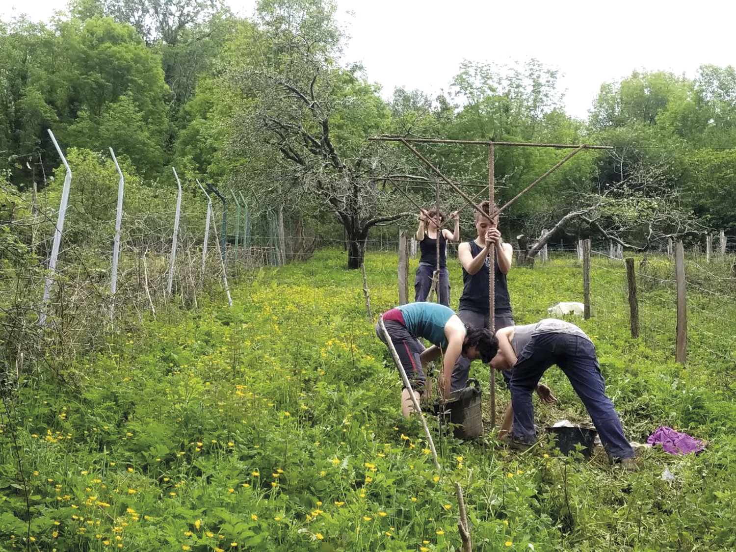
The journey of Larregain will take you all the time between ferns, small forests and megalithic stations. Plantations and ferns a few decades ago will give the landscape a red colour in autumn. We are in the middle of winter and have already begun to fill the wells of the roads with the eggs of the red frog of the forest (the red icing in Ereñotzu). Around the akola, in the fall, the English are also red.
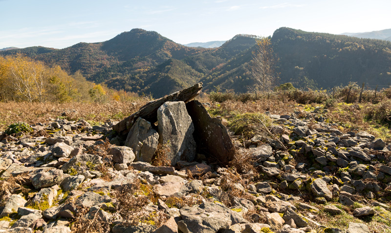
Seven of the dosages found in the megalithic station that covers the lands of Hernani, Astigarraga and San Sebastián are located in the municipality of Hernani. The best preserved is that of Sarats (in the image above), declared Cultural Good Qualified as Monumental Complex. T. Atauri, J.E. Elosegi and M. It was discovered by Labord in 1950. This is what we can read in the Archaeological Charter of Gipuzkoa: “Short open dolmen. In the tubule (11x13 meters in diameter and 1.70 meters in height) you can see a trench 2 meters wide and 5 meters long. The cabin is a triangular space organized by five slabs, disfigured and which in its day could be rectangular”.

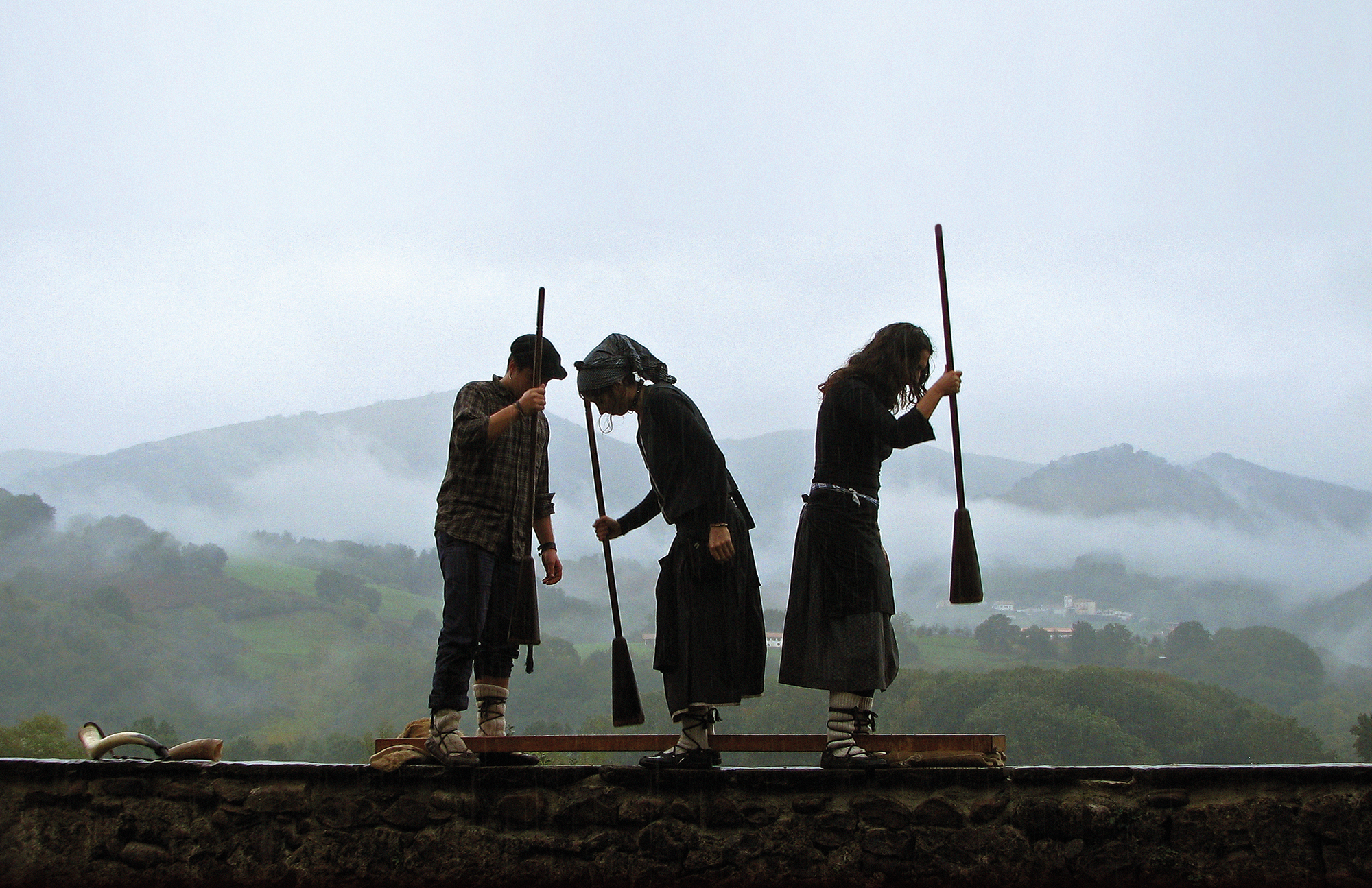
On the road to the collado of Saratseta, in the area of Epele-Akola (above), you can still see the remains of the ferns or the old posts of iñistor until the middle of the twentieth century. The fern grows towards the sides of the roads (also called the garoa or iñistorra in the Hernani area). In early fall, around September, many Hernani baserritars came to these places in search of ferns for cows.

The height of Akolatxara (above) is the highest point of the route with a cumulative elevation of 192 meters (359 meters). Rocks and trees in a variable way give it a singular aspect. Among the trees, most are trees, but not all. In fact, older people erñotzuarras will tell you right away that “trees” are unbounded “rocks”. Therefore, not all trees are trees at the tip of Akolatxara.