These are the lands that we should protect to ensure biodiversity and stabilize the climate.
- They have mapped the world and we now know in detail what territory should inevitably be protected in order to deal with the double crisis we are experiencing: the loss of biodiversity and the climate emergency. The conclusions of the Global Safe Net (Global Safety Network) project have been published in the journal Sciences Advance, according to which at least half of the land surface should be protected, compared to the current 15%.

One pixel per square kilometer. So far Global Safe Net (GSN) has come to map the areas of land that must be protected in the world. He has recently published the conclusions of his study, and has also created a website to somely see what are the natural spaces for species conservation, as well as the fields of biomass for carbon storage.
Although we are often separated from each other, the loss of biodiversity and the climate emergency come hand in hand. Moreover, in addition to global warming, other threats to humans have been highlighted with the Covid-19 pandemic: diseases caused by zoonoses. In order to avoid that dark future for all life in the world, it would be necessary to protect much more land than we now have.
The TGSS believes that half of the land area should be secured for this task. Currently, the project has 20 million square kilometres of protected area and provides for a total of 67 million square kilometres.
In particular, in addition to the currently protected areas, they have identified another 30% of the land surface as essential for the conservation of species diversity and abundance, especially in Siberia and northern Canada, as well as in the extensive habitats of Brazil, the USA, Australia and China, of great natural richness. In addition, 5% more of the earth’s surface should be used as a carbon reservoir to “stabilize the climate”. Half the world, therefore.

Human-urbanized, high-density areas and those dedicated to agriculture have not been taken into account when building the map, but rather less inhabited or more remote areas of life. In this regard, the study pays particular attention to indigenous territories, which represent 37 per cent of the areas to be protected: “This demonstrates that indigenous peoples and their lands play an important role in preserving biodiversity and the earth’s atmosphere.”
Another conclusion is that in order to protect species at serious risk of extinction it would only be sufficient to protect 2.5% more of the land, in addition to current land, which would be feasible within five years.
The study's signatories consider it essential to address claims on indigenous land, to comply with the pledges made at the Paris climate summit and to implement the Global Agreement on Nature. They recalled that with the COVID-19 pandemic states have shown that they are able to mobilize billions of euros, and that in this case they should also do so.
And in the Basque Country what?
The map overlays eleven layers of biodiversity (large series of species to be protected, strange phenomena, untouched land…) and identifies corridors between areas of 2.5 kilometers of average width. Data can be consulted by counties and countries.
As far as the Basque Country is concerned, the eco-regions can be distinguished from the Cantabrian, Iberian peninsular and Pyrenean forests. Some of the indigenous land is already protected through networks such as the Natural Parks, but the “wild areas” that have been kept whole in the Pyrenees Navarro, as well as numerous high-biomass plots scattered throughout all the territories in this case, such as Cinco Villas, Malerreka, Altzania or north of the Uribarri reservoir, should also be protected.
.jpg)
The excessive fragmentation of the areas makes the need to establish numerous ecological corridors inevitable, which is evident in the case of the Basque Country. For example, the Global Safe Net project proposes to support the heights of Andatza, Belkoain or Zubieta between the natural parks of Aiako Harria and Pagoeta in Gipuzkoa, including the incinerator.
Automatizazioaren eta abereen inguruan kuxkuxeatzen ari nintzela, ukuilu automatizatuen informazioa hasi naiz eskuratzen. Nire idazmahaiaren erosotasunetik idazten, gizakion kontsumorako modu masiboan esplotatzen ditugun abereen bizitzak nahiko penagarriak direla iruditzen zait,... [+]
Itsasoan badira landareen itxura izan arren animalia harrapari diren izaki eder batzuk: anemonak. Kantauri itsasoan hainbat anemona espezie ditugun arren, bada bat, guztien artean bereziki erraz atzemateko aukera eskaintzen diguna: itsas-tomatea.
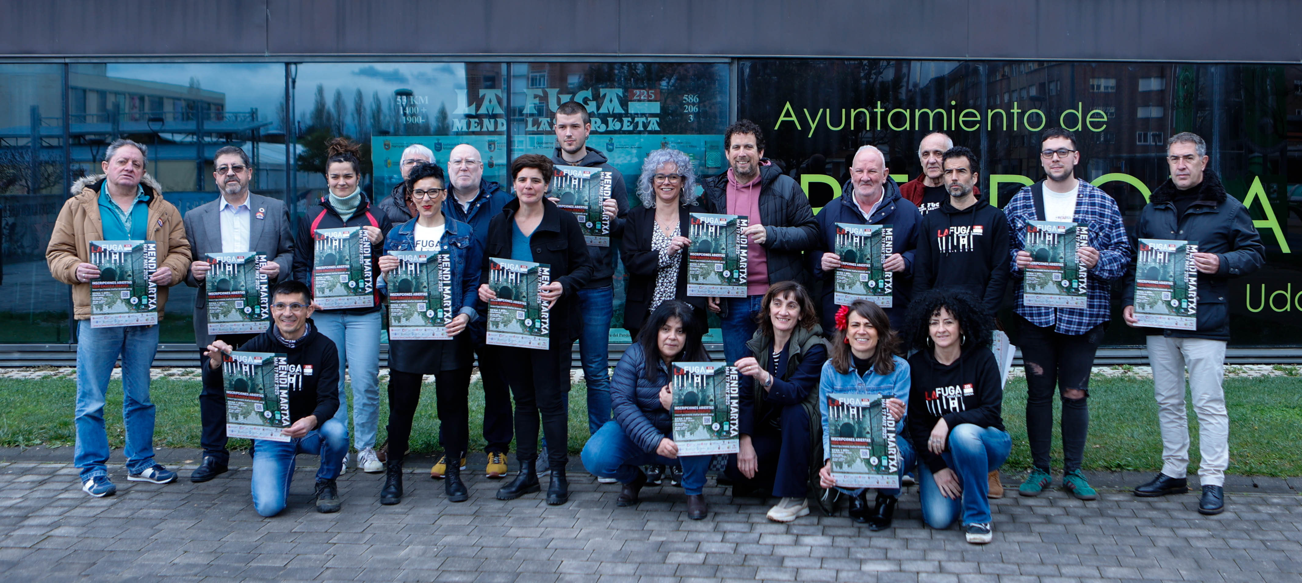
Kirola eta oroimena uztartuko dituzte, bigarrenez, mendi-martxa baten bitartez. Ez da lehiakorra izanen, helburua beste bat delako. La Fuga izeneko mendi martxak 1938ko sarraskia gogorarazi nahi du. Ezkabako gotorlekuan hasi eta Urepelen amaituko da. Maiatzaren 17an eginen dute.
Zer esango zenioke Palestinako aktibista bati aurrez aurre izango bazenu? Ni mutu geratu nintzen Iman Hammouri nire herrian bertan aurkeztu zidatenean. Eskerrak andre nagusi bat gerturatu zitzaigula eta solaskide roletik itzultzailearenera pasa nintzela.
Palestinako Popular... [+]
Ugaztunei eskainitako azken artikuluaren amaierako hitzak hurrengo animalia aurkezteko aitzakia paregabea dira. Bertan esaten genuen muturluzeak erreka “garbi eta txukunak” behar dituela, kutsadurarik gabeak baina elementu natural anitzekin. Animalia txiki horren... [+]


