A socio-economic map of Gaindegia reveals the imbalance between districts and metropolises
- Gaindegia has taken a socio-economic photograph of the counties of Euskal Herria in an interactive atlas. The proximity of basic public services is much weaker in peripheral regions than in capitals.

"It has often been said that Euskal Herria is a polynuclear territory, although in recent years we have been immersed in a period of strong metropolization, to the point of weakening the leading regions and unbalance the territory". This is what Gaindegia concluded after taking a socio-economic picture among the counties. On a map, the observatory shows the demography of the counties of the seven territories of the Basque Country, the basic services or the data on land use.
As for the proximity of basic public services, the Alavesa Mountain and the valleys, as well as the Navarre Pyrenees, appear very marginalized on this map. In general, in many regions of Navarre it is observed that public services are much further away than in Bizkaia and Gipuzkoa.
The atlas also allows comparisons to be made in the artificialization of the territory. Thus, among the most artificialized areas are the Llanada Alavesa – due to the urban expansion of Vitoria-Gasteiz, in large part –, Donostialdea, the coast of Lapurdi – around Baiona, Biarritz and Angelu – and the Gran Bilbao. Most agricultural land is concentrated in southern Navarre, Rioja Alavesa and northern Baja Navarre, especially in Amikuze and Bidaxune.
"Urban centers are becoming more metropolitan," says Gaindegia. There is the new map of the macro-regions, which, in addition to the capitals, covers an increasingly wider territory of the area". He has therefore warned that the major municipalities that have been the head of the region are increasingly vulnerable and that many of the services and functions they have performed in the past are no longer able to provide them.
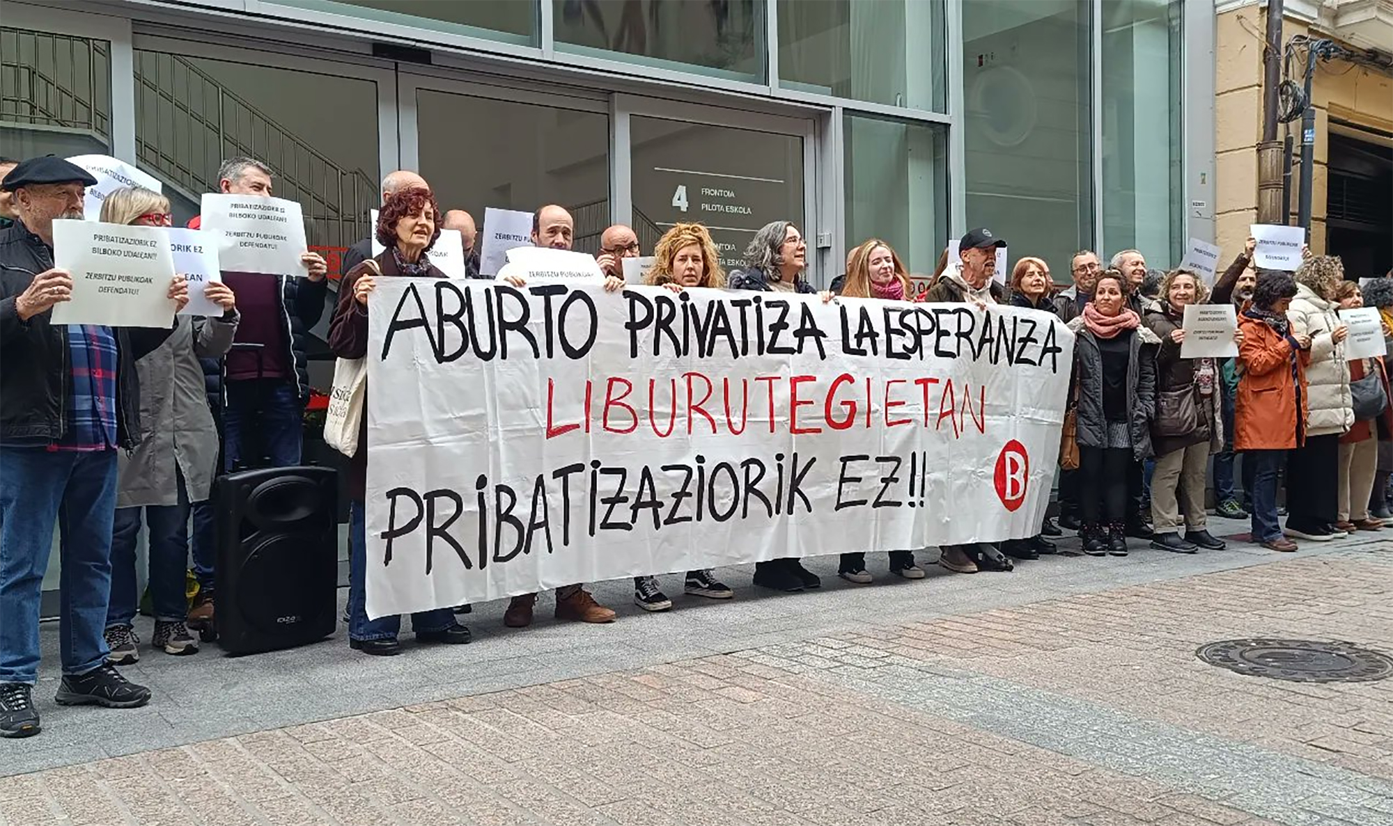
Bilboko Udalak zerbitzu publikoak pribatizatzen jarraitzen duela salatu du Bilboko Liburuzainen kolektiboak, besteak beste, kulturari loturiko zerbitzuak. Horren harira, mahai-ingurua antolatu dute martxoaren 3an Bidebarrieta liburutegian, Kulturaren pribatizazioa izenburupean.


.jpeg)
