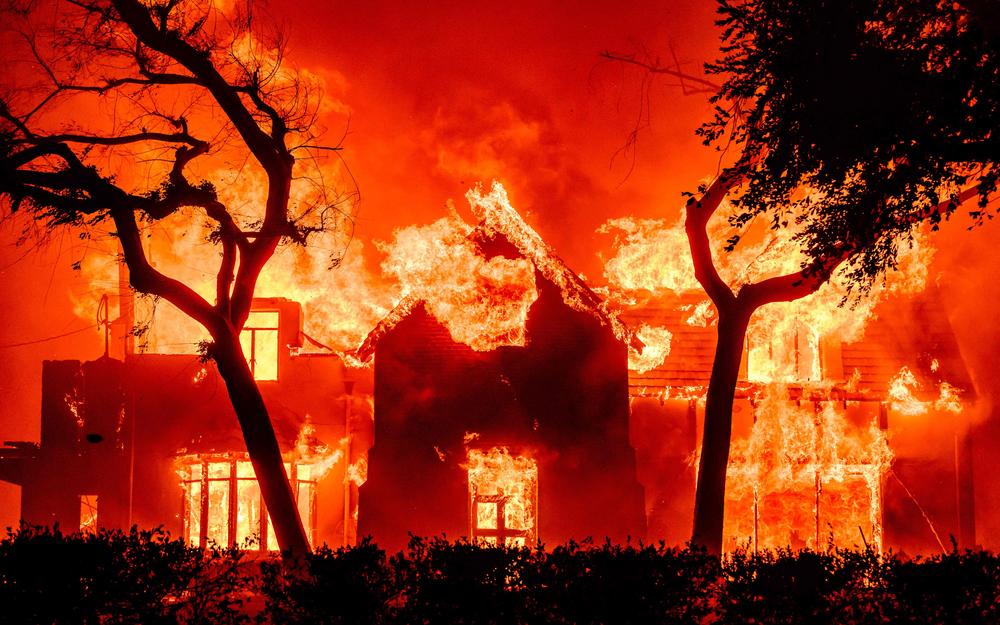
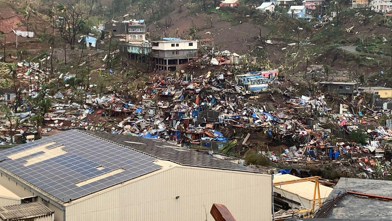
With the oceans warmer than ever, the Child phenomenon can lead to unknown situations.
- The global ocean temperature has reached the highest mark recorded last month. With regard to previous years, there is an extraordinary evolution, in which the conditions of the Child phenomenon in the Pacific are being imposed. According to experts, in 2024 extreme temperatures can increase, reaching a 1.5 degree limit on climate warming. The effects of the Child and global warming can be hard for many countries.
Each year, by the end of March, the highest surface temperature of the global ocean (measured between 60º and 60º latitudes) is reached, as the largest bodies of water are found in the southern hemisphere, mainly in the Indian Ocean and the South Pacific, and at the end of the summer when most of the heat is concentrated. This year, however, we can see two outliers: instead of stopping water warming in March, high temperatures have remained until April 23 and the hottest year mark recorded so far (2016) has been largely exceeded.
As for the sea, this year’s is too early to know if it will be the hottest, but for the time being it is oriented towards it, especially if the phenomenon called El Niño is repeated.
The 1.5° global warming threshold can be seen in the powerful El Niño coming, with a 50% chance over the next five years
Surface temperatures and Pacific wind regimes change irregularly in the so-called “El Niño” southern oscillation phenomenon. This phenomenon consists of two phases. In one, called "La Niña," where strong east winds push surface waters west of the Pacific, into Indonesia. While warm surface waters accumulate and sink, east, along the coasts of Ecuador and Peru, deep cold waters reach the surface. In this situation, sea surface waters are cooler than average, which also affects the temperature of the global atmosphere. In the other phase, called "El Niño," the eastern winds are weaker, the surface waters move less, and the warm waters extend east. The frequency of these two phenomena is irregular and therefore not easy to predict. In recent decades, La Niña episodes have decreased and El Niño has increased.
The Child can cause
Southern El Niño oscillation affects the entire atmosphere, but its most intense effects occur in the Pacific and Indian Ocean regions. The last strong episode of El Niño that we have known developed in the years 2014-2016 and the countries most affected were Peru and Ecuador, which destroyed 40,000 houses by floods. Floods in events such as El Niño can also occur in areas such as California or Uruguay, and heavy rains can occur in East Africa (perhaps the only positive effect to mitigate the drought that has been there since October 2020). Other potential effects are not beneficial: drought in Southeast Asia, especially in Indonesia, drought in India affected by extraordinary heat waves in 2022 in summer 2024, drought and heat in Madagascar and Lesotho, drought in the Sahel region and Australia, and heat waves in Brazil in the south and drought in the north. The presence of cereals exporters in Australia, Brazil and India can have more serious consequences in the current context.
In India, affected by calorific waves in 2022, drought may occur in summer 2024, as well as in the Sahel region, southern Africa, Indonesia and Australia
Towards situations unknown by climate warming
Most of the warming we're accumulating as a result of the greenhouse effect, about 90 percent, is captured by the ocean, just like it captures 25 percent of CO2 emissions. In recent years, La Niña dominated, leading to much of this heat depositing in deep waters of the Pacific West. However, due to climate warming, heat brands across the planet have been exceeded during the years 2021 and 2022, as the Girl Girl was not enough to alleviate the warming of the atmosphere. Now, with El Niño conditions, we can see more extreme temperatures.
According to James Hansen, a climatologist at Columbia University, 2024 will be the warmest year until then and even if El Niño is normal or weak, the temperature marks will be exceeded. According to the UK Met Office long-term forecasting officer, Adam Scaif, the 1.5 degrees of global warming limit could be seen in the powerful El Niño coming and to see it in the next five years with a 50% chance.
About 90% of cumulative greenhouse warming and 25% of CO2 emissions are
captured by the ocean
We still cannot know what the level of the Child that has come to us is, but it is 1.5 degrees the warming limit that we should not exceed by 2100, to prevent disasters such as the disappearance of most coral reefs, the formation of larger hurricanes or the outflow of territories such as Bangladesh or Maldives. Reaching the limit set at the end of the century at the end of a quarter of a century would be a bad sign. The climatologist at the University of Pennsylvania, Michael Mann, says that the short influence of El Niño and La Niña phenomena on the surface of the earth should not be excessive, as we should be more concerned about the continuous warming of the ocean.
Could the extraordinary consequences of a Child help to better understand the emergency climate? In southwestern Europe, the summer of 2022 had the touch of the climate of the future: overcoming the temperature marks from Aturri to the Ebro, fires, water scarcity, drought that has lasted during the winter, leaving groundwater layers to unusual levels and threatening agricultural production. This picture undoubtedly exacerbates the awareness of the problem in many people. But is that enough? Basically, is that the problem?
.jpg)
The historian of energy and the environment,
Jean-Baptiste Fressoz, recalls that phrases like "this last year has been the year in which we have realized the problem of the environment" have been several times throughout history and that this idea has been promulgated too often to be really useful. It considers that the crisis in the environment and in the climate are not due to a lack of awareness, but to the economic model to be transformed. COP27 has highlighted the lack of climate management models and the strength of economic legislation, as explained by ARGIA in the report, local initiatives are fundamental to this, as in addition to reducing greenhouse gas emissions, they generate local conditions and resilience to combat climate change.
Biologian doktorea, CESIC Zientzia Ikerketen Kontseilu Nagusiko ikerlaria eta Madrilgo Rey Juan Carlos unibertsitateko irakaslea, Fernando Valladares (Mar del Plata, 1965) klima aldaketa eta ingurumen gaietan Espainiako Estatuko ahots kritiko ezagunenetako bat da. Urteak... [+]
Nola azaldu 10-12 urteko ikasleei bioaniztasunaren galerak eta klima aldaketaren ondorioek duten larritasuna, “ez dago ezer egiterik” ideia alboratu eta planetaren alde elkarrekin zer egin dezakegun gogoetatzeko? Fernando Valladares biologoak hainbat gako eman dizkie... [+]
Eskoziako Lur Garaietara otsoak itzularazteak basoak bere onera ekartzen lagunduko lukeela adierazi dute Leeds unibertsitateko ikertzaileek.. Horrek, era berean, klima-larrialdiari aurre egiteko balioko lukeela baieztatu dute, basoek atmosferako karbono-dioxidoa xurgatuko... [+]
There was no one or all. That we all suffer at least if the necessary changes are not made so that no one suffers the climate emergency. You – reader – I – Jenofá-, they – poor – and they – rich. The fires in Los Angeles did not give me satisfaction, but a sense of... [+]



_Glaciar.png)



-(1).jpg)
